NATIONAL GEOGRAPHIC WANDKAART AFRICA POLITIEK-ANTIEK (9781597752589) 78 X 61 CM IS NIET LEVERBAAR
Dit artikel is niet leverbaar. Het wordt niet meer gemaakt, zit niet meer in ons assortiment, of kunnen wij er simpelweg (nu) niet aan komen.
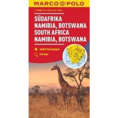
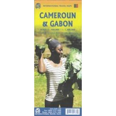
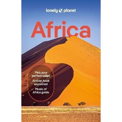
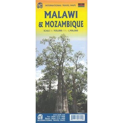
Artikelen die wij wel op voorraad hebben in deze groep (Afrika Algemeen):


OMSCHRIJVING
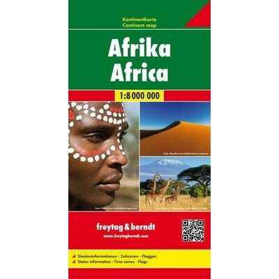
Wandkaart van Africa met een politiek-antiek kaartbeeld.
-schaal 1:14.244.000
-afmetingen: 78 cm hoog x 61 cm breed
Our executive-style political map of Africa features country boundaries, place names, bodies of water, airports, major highways and roads, and much more. Astounding detail and boardroom quality make this map excellent for reference in your home or office.
The map presents Africa at 1: 14,244,000 and coverage includes the whole of the Mediterranean Basin, extending north to London. Islands in the Atlantic and the Indian Ocean are included on a separate inset. The base map has relief shading to show the continent’s topography, with additional graphics indicating deserts, swamps, salt flats, etc. The map shows the names of the main geographic features such as mountain ranges, deserts, peaks etc. Heights are given in metres, except for Kilimanjaro, shown in both metres and feet. In the Congo basin many of the tributaries are named.
Country boundaries are shown in contrasting colours. All place names are in English, except for selected cities such as Cairo, Tripoli or Algiers where the original names are shown first (El Quahira, etc) with the English equivalents in brackets. Where appropriate, administrative, legislative and judicial capital cities are indicated (e.g. Dar Es Salam/Dodoma, Johannesburg/Cape Town/Bloemfontein, etc).
Bekijk alle Azië, Afrika & Oceanië
OMSCHRIJVING
-schaal 1:14.244.000
-afmetingen: 78 cm hoog x 61 cm breed
Our executive-style political map of Africa features country boundaries, place names, bodies of water, airports, major highways and roads, and much more. Astounding detail and boardroom quality make this map excellent for reference in your home or office.
The map presents Africa at 1: 14,244,000 and coverage includes the whole of the Mediterranean Basin, extending north to London. Islands in the Atlantic and the Indian Ocean are included on a separate inset. The base map has relief shading to show the continent’s topography, with additional graphics indicating deserts, swamps, salt flats, etc. The map shows the names of the main geographic features such as mountain ranges, deserts, peaks etc. Heights are given in metres, except for Kilimanjaro, shown in both metres and feet. In the Congo basin many of the tributaries are named.
Country boundaries are shown in contrasting colours. All place names are in English, except for selected cities such as Cairo, Tripoli or Algiers where the original names are shown first (El Quahira, etc) with the English equivalents in brackets. Where appropriate, administrative, legislative and judicial capital cities are indicated (e.g. Dar Es Salam/Dodoma, Johannesburg/Cape Town/Bloemfontein, etc).
Bekijk alle Azië, Afrika & Oceanië
PRODUCTINFORMATIE NATIONAL GEOGRAPHIC WANDKAART AFRICA POLITIEK-ANTIEK
PRODUCTINFORMATIE NATIONAL GEOGRAPHIC WANDKAART AFRICA POLITIEK-ANTIEK
HET MERK NATIONAL GEOGRAPHIC
National Geographic is voor al bekend om zijn fraaie natuurbeelden die iedereen weleens gezien heeft. Ook het blad National Geographic is bij menig persoon bekend. Daarnaast heeft National Geographic uitstekende reisgidsen (Engels en Nederlands) en prima wegenkaarten (Adventure Maps) en wandelkaarten van de Rocky Mountains en natuurparken in Noord-Amerika.
GARANTIE
Of u het product online via de webshop of in onze fysieke winkel gekocht heeft, de garantie is voor Zwerfkei hetzelfde. De garantietermijn kan per product en merk verschillen, van één jaar tot de volledige levensduur van het product. Garantie geldt in principe op alle materiaal- en/of fabricagefouten, en niet op defecten als gevolg van slijtage of verkeerd gebruik. In het geval van garantie wordt het defecte product vervangen, vergoed of hersteld door de fabrikant/importeur of door een professionele en gespecialiseerde reparateur.
Zwerfkei verzorgt de begeleiding en de afhandeling van garantiegevallen voor u. Wij bieden het product na beoordeling ter reparatie aan bij de fabrikant/importeur of één van hun professionele servicediensten. Wij onderhouden goede contacten met onze servicediensten en samen zorgen wij ervoor dat elk defect zo snel mogelijk opgelost wordt.
NATIONAL GEOGRAPHIC WANDKAART AFRICA POLITIEK-ANTIEK KOPEN?
KEUZEHULP
OPENINGSTIJDEN
| Ma | 13:00 - 18:00 uur |
| Di | 09:00 - 18:00 uur |
| Wo | 09:00 - 18:00 uur |
| Do | 09:00 - 18:00 uur |
| Vr | 09:00 - 21:00 uur |
| Za | 09:00 - 17:00 uur |
| Zo | gesloten |
3446 CR Woerden
0348-421648
ANDERE KLANTEN KOCHTEN OOK